

The impacts of management measures designed to protect the North-East Atlantic often require years to take effect because change in human activity, although potentially significant, will only elicit a slow response in the marine ecosystem. Furthermore, there are natural changes occurring continuously across the North-East Atlantic. In this context, there is a need for continuous assessment and update thereby ensuring that the best possible advice is available to policymakers.
Since the publication of the OSPAR Quality Status Report (QSR) 2010 , OSPAR has been working with other Regional Seas Conventions and the European Commission to develop common and widely applicable assessment tools; many new indicators of the state of the marine environment have been identified and assessment methods developed, while other long-standing assessment methods have matured. These are required for delivery of both the OSPAR North-East Atlantic Environment Strategy (The OSPAR Strategy) and the European Union (EU) Marine Strategy Framework Directive (MSFD).
The IA 2017 details human pressures on the North-East Atlantic, their effects and the implications for biological diversity of this marine area. Some of the indicators of pressure (Table 5) were reported in the QSR 2010, but have been refined such that in the IA 2017 there is a significant regional component to the assessment. Many of the indicators are new.
These include ‘Trends in New records of Non-Indigenous Species (NIS) Introduced by Human Activities’ and ‘Distribution of Reported Impulsive Noise’. As with the other indicator assessments presented for the first time in the IA 2017, these assessments will progress as they are subject to further scrutiny and development.
There is an additional 31 indicators that OSPAR would like to progress (see Table 8). These cover topics such as effects of hazardous substances, biological diversity, marine birds and fish communities. This further illustrates the progressive nature of OSPAR’s work. Ultimately, the IA 2017 represents another stepping stone in the process of assessing the status of the North-East Atlantic which requires the ongoing advancement of current indicators and the introduction, testing and approval of new indicators. This continual process represents delivery, by OSPAR, of key information to allow the management of human activities impacting on the North-East Atlantic.
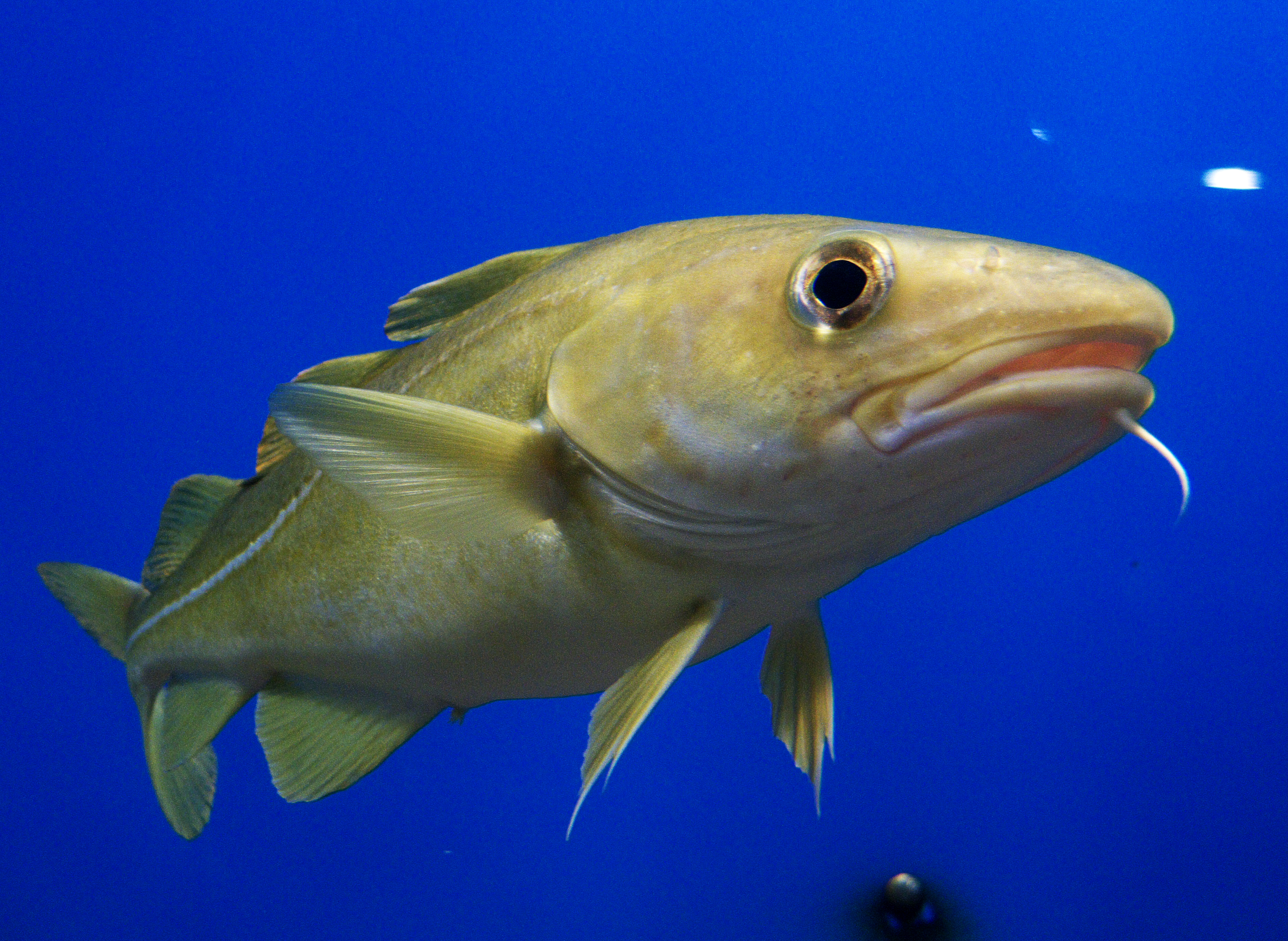
Common Name: Cod (Scientific Name: Gadus morhua)
Although the IA 2017 provides clear Key Messages, there are no recommendations. For an intermediate report this is a recognised feature. However, a future OSPAR QSR will provide clear recommendations.
OSPAR has created the OSPAR Data Information and Management System and the OSPAR Assessment Portal; these developments have allowed OSPAR to deliver the IA 2017 as an interactive product. Details of the layout of this report can be found at 'Navigating through this Intermediate Assessment' . What has actually been assessed is specified in What is assessed?.
The IA 2017 is an indicator-based assessment, with the assessments linked to data and map services. Although the IA 2017 is part of a structured online information system, it is possible to both download and print various components of the assessment, including two-page summaries for each of the indicators.
Key messages have been identified for each of the 42 indicator assessments (detailed in Table 5 and Table 6) and the five Thematic Assessments (detailed in Table 7). However, indicator-based assessment continues to develop with some of the indicators being only pilots at this stage and others requiring further development. Ultimately, the IA 2017 lays the foundation for future reporting of status and trends across the North-East Atlantic.